Drone Inspection and Mapping
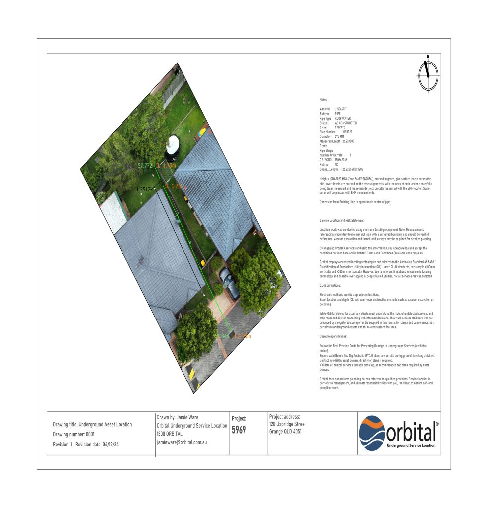
Utilising state-of-the-art drones and GNSS equipment we offer comprehensive aerial inspection and mapping services. Our capabilities include high-resolution imaging, 2D mapping and 3D modelling. Precise data collection enables efficient project planning and asset management.
Key Features:
Comprehensive reporting
High-resolution aerial imagery
Accurate 3D terrain modelling
Short turn-around data processing
CCTV Pipe Inspection
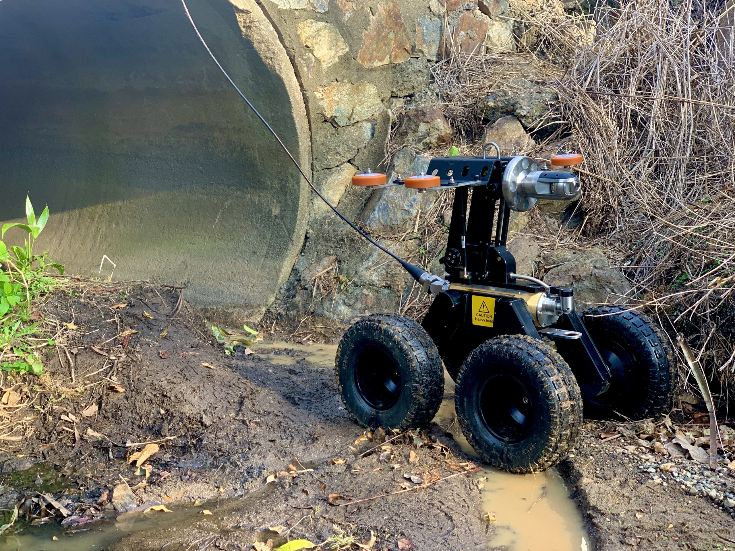
Our advanced CCTV pipe inspection services provide detailed assessments of underground pipelines. We identify blockages, structural issues, and other potential problems, ensuring the integrity and functionality of your pipeline systems.
Key Features:
Compliance with WSA 05 Conduit Inspection Reporting Code of Australia
Precise defect identification
Comprehensive condition reports
High-definition video inspections

